|
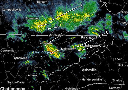
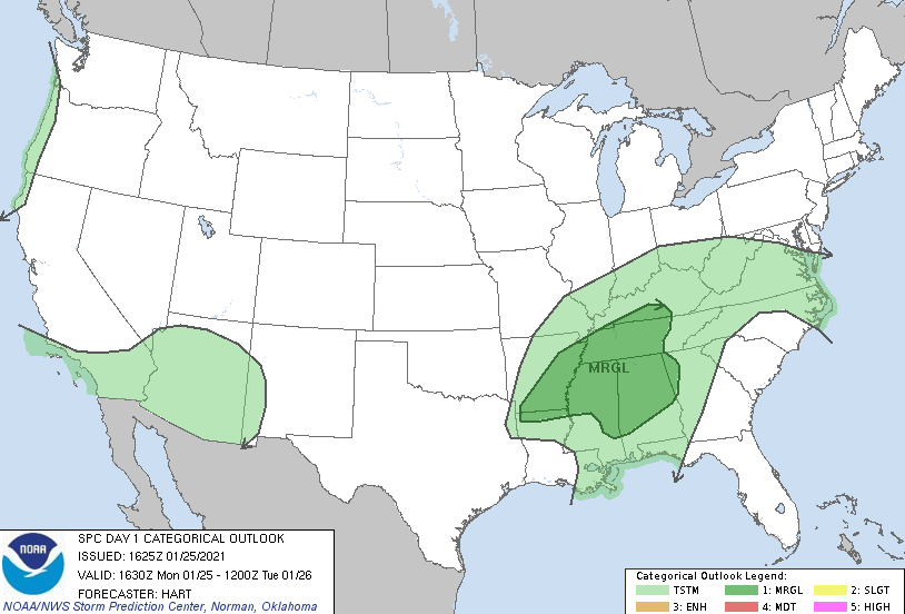
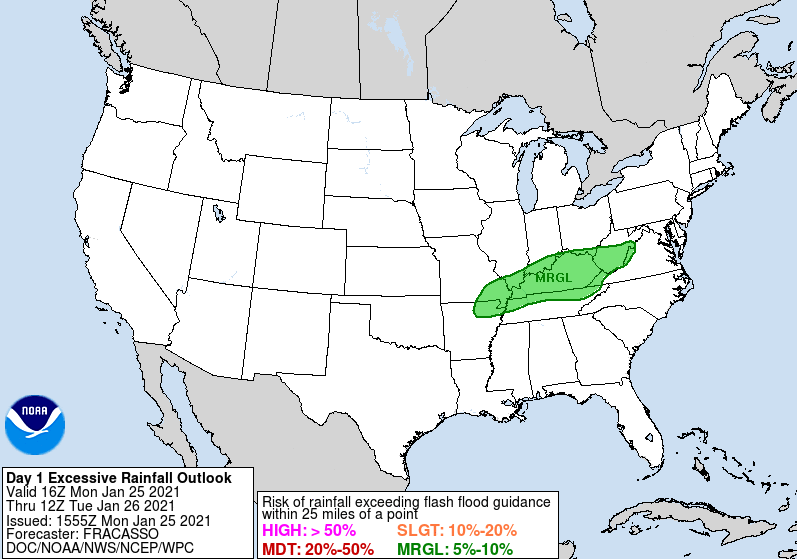
Good afternoon and I hope you are staying dry today. The current radar (as of 12:55 pm) show's a swath of moderate to heavy rain working through Knoxville and in a northeast direction. We will continue to see these waves of showers/storms work through this afternoon and evening. Touching on our forecast late last week, we warned heavy rains could bring flash flooding potential to parts of the northern plateau and counties bordering Kentucky. As you can see below (right) a Marginal excessive rainfall outlook has been issued for all of Kentucky and the northern quadrant of Eastern Tennessee. Be mindful of low lying and flood prone areas. Please send reports to us via email & social media as we'll pass those along to the NWS. In addition to limited flooding potential, the SPC has issued a marginal risk for severe storms across Western and Middle Tennessee. This does include the Plateau. Some instability this afternoon could fire off some heavier showers/storms which could create lightning, gusty winds, and localized flooding. Again be weary, take your time if on the roads, and pass along any reports you may have. Looking to what's next, this is one of two systems that will impact us this week. The next one arrives later Wednesday bringing much cooler air and the chance for a few snow flakes. A quick moving low, now developing across NE Texas, will work eastward bringing cloud cover back across the area Wednesday. Showers will begin the show with a transition to mix and snow late in the night and early into Thursday morning. Light accumulations are possible across the higher elevations while little to no impacts are expected across the valley locations as of now. Patchy black ice is something we'll monitor for as we get closer to time. Warm temperatures will be around tomorrow with some locations seeing near 70 degrees (yes I promise it's still winter). Our second system later in the week will knock temperatures back down to average, and slightly below, bringing another round of rain, mix, and snow. Stay safe this afternoon, send us reports if you can, and check in for the latest on our Twitter and Facebook. Pre-recorded for 5pm show
0 Comments
Leave a Reply. |
Your trusted source for everything weather in East Tennessee.
Social Media
|


