|
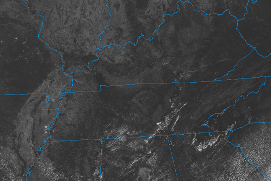
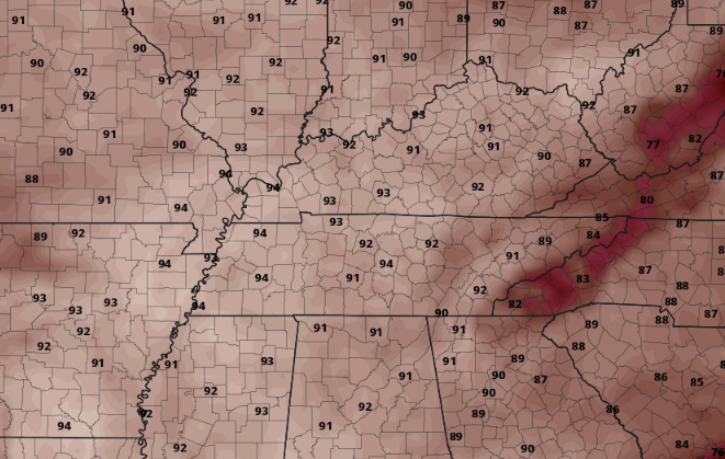
We are off to a warm start with lunch time temperatures ranging in the upper 70s to low 80s. Satellite also depicts some cumulus starting to develop, leading to partly cloudy skies for some. The good news is most will veer dry today, though a very isolated shower isn't impossible across the higher terrain. Overall, highs this afternoon will peak in the upper 80s to low 90s. A similar threat for heat is in the works for Saturday, with a degree or two higher forecast. Most valley locations will find the 90s, while higher terrain upper 80s. Either way, this will be between 5 and 10 degrees above the average for this time of the year, so keep your heat safety in mind. Slightly cooler, and closer to average, temperatures find us into early next week. Outside of temperatures, isolated afternoon pop up showers or storms will be possible each day. These will be few and far between, but not something to entirely rule out. The best chances will be off the higher terrain (smokies & plateau) between 1 pm and 8 pm each day. That will do it for this post, have a wonderful weekend and if you do plan to be out and about, send us a few pictures under the "news and more" tab. Pre-recorded for 5pm weather broadcast
0 Comments
Leave a Reply. |
Your trusted source for everything weather in East Tennessee.
Social Media
|


