|
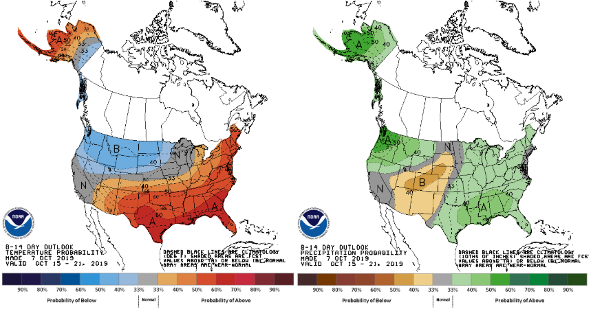
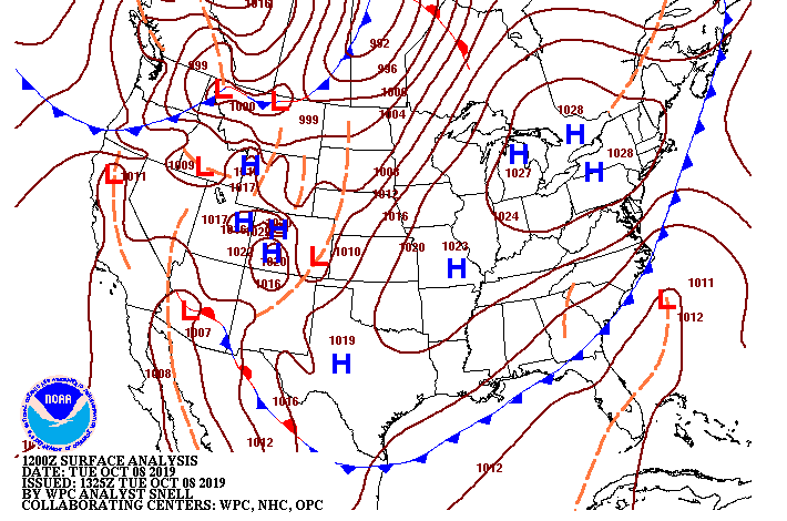
Good afternoon everyone! I will start by looking at the second half of the month below. The CPC (Climate Prediction Center) has continued their outlook of above average temperatures, as well as above average precipitation. The precipitation side is good, as we are still dry across the area. Temperature-wise we will get back into the low to mid 80's next week (around 7 degrees above average). Getting closer to home for the forecast this week, the cold front is funneling in cooler air from our north, allowing highs in the mid 70's today. Behind this front is a high pressure system (already beginning to clear things out to our west) that will bring sunny skies and warmer temps into Wednesday. This high will keep things dry and warm for the remainder of your work week until another cold front slides through late Friday. We could see another round of light showers Friday night into Saturday before cooler temperatures stick around for the weekend. Expect highs Saturday and Sunday in the low to mid 70's and overnight low's in the mid 40's. Model guidance hints at a light shower or two this afternoon and into the evening hours. Expect this to be limited to the higher elevations, as we are already beginning to clear out this afternoon for the valley. Getting into Wednesday and Thursday, sunny skies and warmer temperatures are to return with the high pressure settling in the region. I hope everyone has a great Tuesday and enjoy the comfortable temperatures and sunny skies returning tomorrow.
0 Comments
Leave a Reply. |
Your trusted source for everything weather in East Tennessee.
Social Media
|


