|
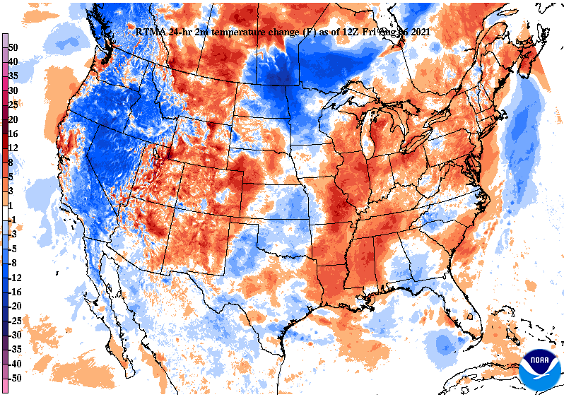
Good morning! Checking out temperatures across the region from this time yesterday, we are trending much warmer. In fact, East Tennessee is running 5 to 10 degrees warmer. This trend will continue (with the exception of Saturday) as highs into early next week will be in the low to mid 90s. Looking at the drought map for this week, conditions have stayed relatively the same. Recent rainfall over the past 7 days have been just enough to not add to the abnormal and moderate drought seen across the NE. Rainfall over the next 7 days looks to be limited, so we could see this worsen ahead. Model guidance depicts the usual summer-time convection. Afternoon showers/storms will be the trend over the next several days. These will typically begin in the afternoon and end by the evening as instability weakens. Saturday will likely be the best day for shower chances before high pressure arrives Sunday and into early next week. That will wrap it up for today...for more information check out our video forecast below or our 5-day forecast. Have a great weekend! Pre-recorded for 5pm show
0 Comments
Leave a Reply. |
Your trusted source for everything weather in East Tennessee.
Social Media
|


