|
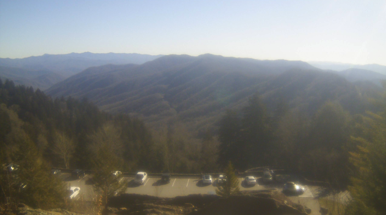
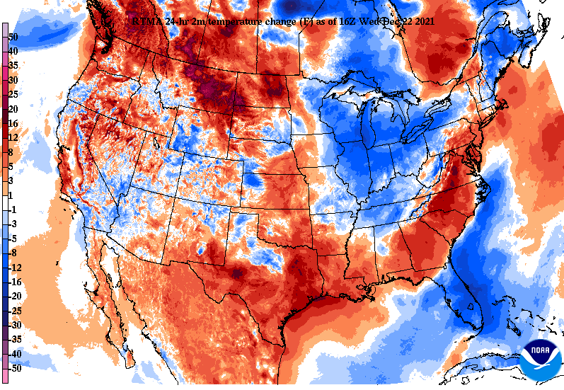
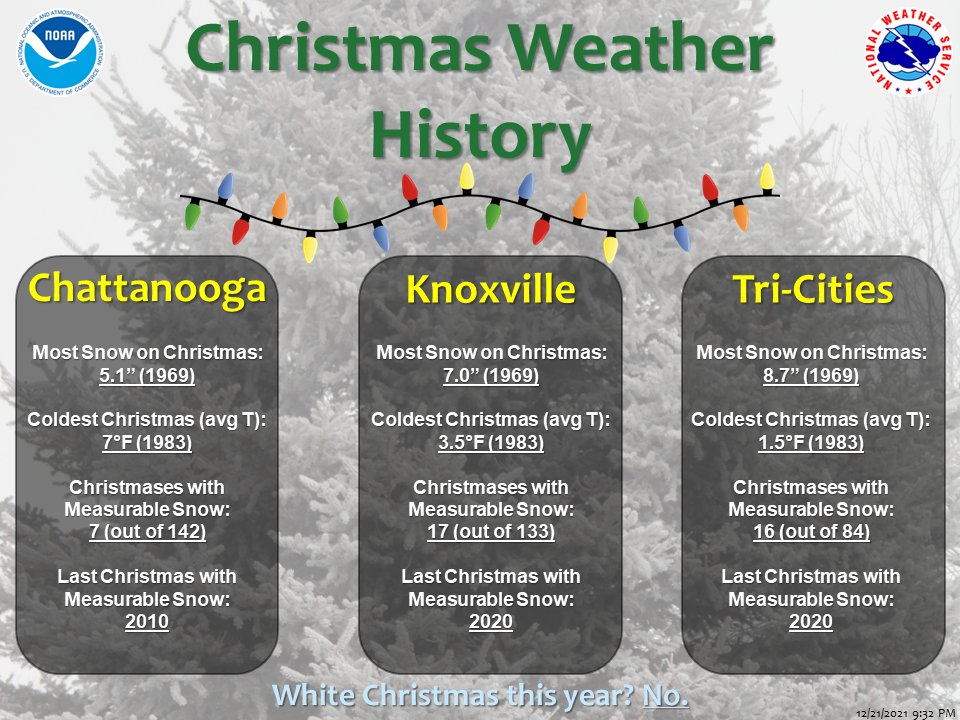
A beautiful but cool afternoon across the Volunteer State. Most valley locations are sitting in the mid 40s, with highs to top out only a few degrees warmer. Across the Newfound Gap area of the Smokies (below) current temps sit right at 30 degrees (1pm). Though we were cool yesterday, we are a touch cooler (on average) across the region. Looking at the past 24 hours, cold air has advected in behind a dry front, leading to the 5-10 degrees of a change we are seeing across the Ohio and Tennessee Valleys. We will warm through the next several days. With Christmas only days away, check out some weather history about the day. Knoxville has had record cold and snowy days, but only 17 out of 133 days (since records began) have had measurable snow. If you recall last year, most saw a white Christmas. This year will very much be the opposite....warm and cloudy to partly cloudy is what you can expect for the day. We will continue our dry stretch the next several days with only isolated showers to sprinkles possible Friday evening and overnight. Most will likely only see cloudy skies before sunshine returns into Sunday. Pre-recorded for 5pm show
0 Comments
Leave a Reply. |
Your trusted source for everything weather in East Tennessee.
Social Media
|


