|
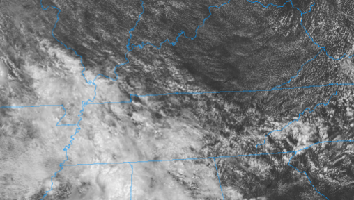
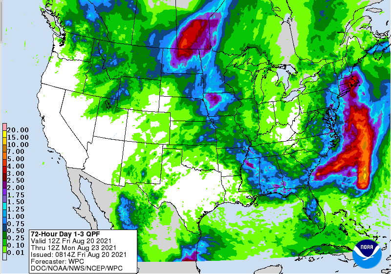
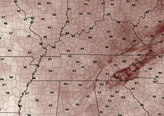
Cloud cover is beginning to clear out across the area with temperatures currently in the lower 80s. Isolated showers will again be possible today, primarily working in from the west and shifting east with time. Activity should lesson with the onset of nightfall. Rainfall will be lean the next couple of days across East Tennessee with the bulk of activity to the west. Given the heavy rainfall from Fred and our latest system, we deserve a break. The drought map this next week should show much improvement from recent weeks where many locations were dry in the northeastern portion of the state. Surface high pressure will continue to sit across the Southeast, once again increasing temperatures into the lower 90s. Humidity will make things feel closer to the mid 90s some days as well. Look for this trend to continue into next week. Tropical Storm Henri is expected to increase in strength as it shifts northward, making landfall in New England by late weekend. Stay tuned for updates via Twitter & Facebook this weekend. Have a good one, stay cool, and don't forget to view our forecast video below. Pre-recorded for 5pm show
0 Comments
Leave a Reply. |
Your trusted source for everything weather in East Tennessee.
Social Media
|


