|
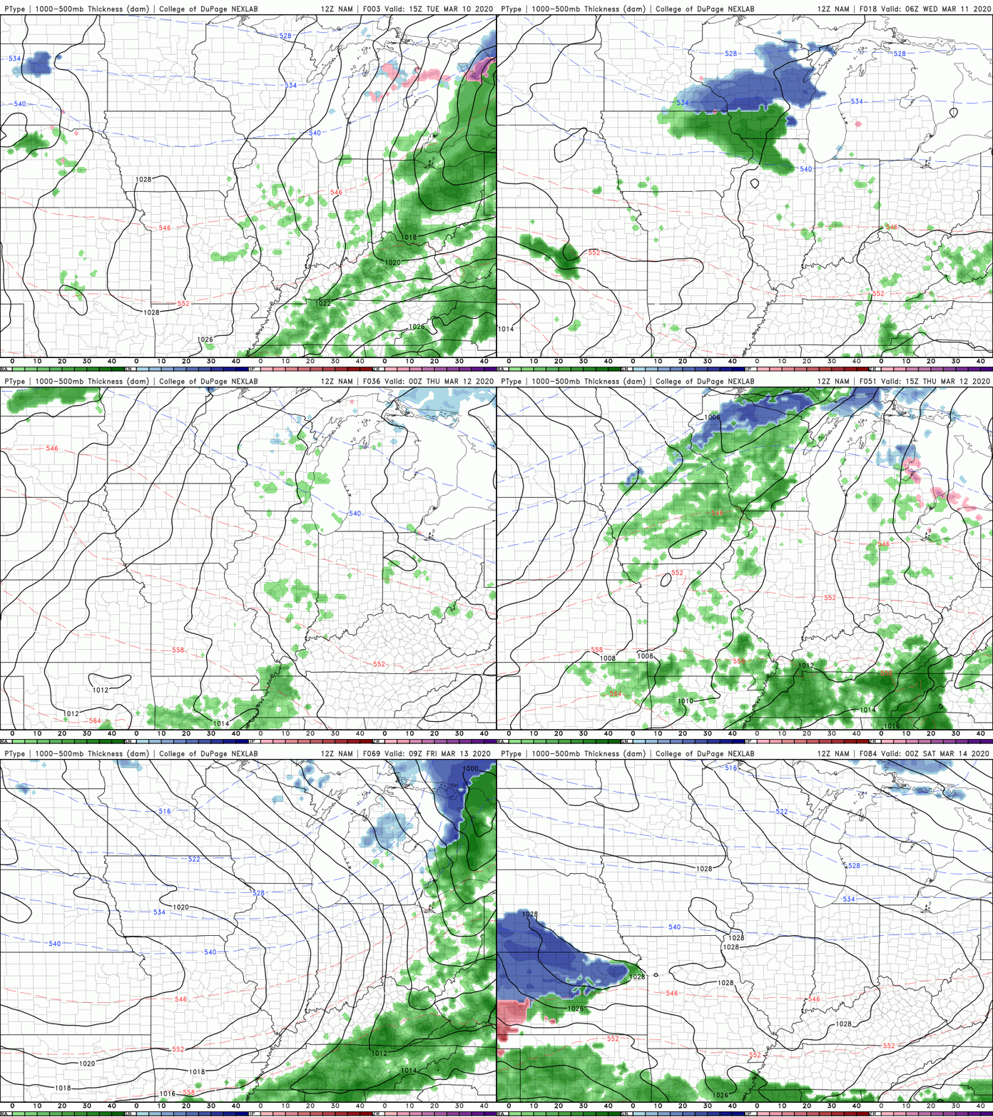
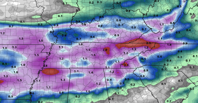
Shower activity has been limited to the AM hours so far today. Another round of showers is likely working into the afternoon and evening ahead of a weak cold front moving through. So far, we have picked up almost 0.25" of rainfall here at the office. Looking at what's to come, we'll dry out tonight and much of Wednesday before showers return Wednesday night. Rounds of scattered showers will work through Thursday and Friday before another break comes Saturday morning and into the afternoon. Once again, though, showers return Saturday night and into Sunday. Though model guidance paints a more dramatic story, totals will stay limited to 1-3" through Friday afternoon. These showers, as mentioned yesterday, will be more of a pester than anything else. Nonetheless, keep the umbrellas handy the next several days. Temperatures will stay Spring-like in the 60's through much of this week. Though shower activity is likely much of this week, there are some opportunities to enjoy the outdoors (Wednesday & parts of Saturday). Stay dry as this pattern looks to stick around for some time.
0 Comments
Leave a Reply. |
Your trusted source for everything weather in East Tennessee.
Social Media
|


