|
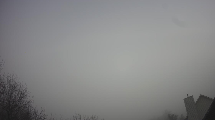
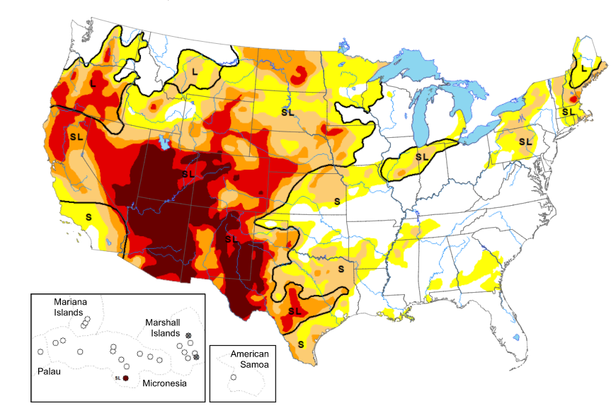
Good morning! For those of you still packing up the car this morning, consider taking a little extra time to work and school. Patchy fog can be see across the region (this view from the Stansfield Cam in Oak Ridge). As promised, the United States drought map is shown below. Not only has it been a record-year for hurricanes and tropical activity, but we also have had a record number of wildfires (with many still active running from New Mexico to Washington and extended as far out as Colorado to the west coast). The latest weekly update will be published later today, so we'll have a better idea of the conditions across Tennessee for our Friday discussion. Moving into our next weather-maker, cloud cover will increase the second half of the day tomorrow. A few light showers (ahead of the system) could arrive overnight Friday, otherwise the bulk of activity will fall late-morning to early afternoon Saturday. A trailing cold front will cool things down quickly the later half of Sunday, providing the opportunity for a few flakes across the region. As of now, no accumulation is expected across the Valley. We could see minor accumulations (few tenths) across the Plateau with better opportunities in the highest elevations of the Smokies. For now, our main focus will be the rainfall bringing near half an inch to East Tennessee. Be sure to take advantage of the conditions we have across East Tennessee. It is not too common we have sunny skies and high's in the low 60's for mid-December. This trend continues one more day (Friday) before showers and a cool down follow. Pre-recorded for 5pm show
0 Comments
Leave a Reply. |
Your trusted source for everything weather in East Tennessee.
Social Media
|


