|
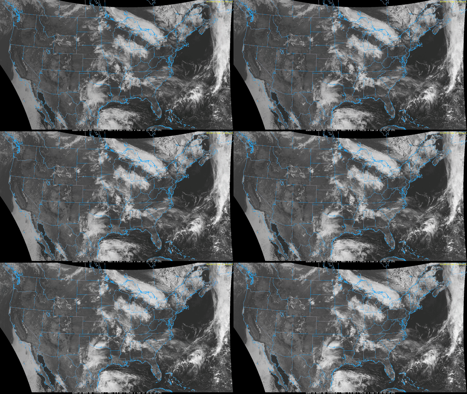
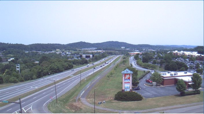
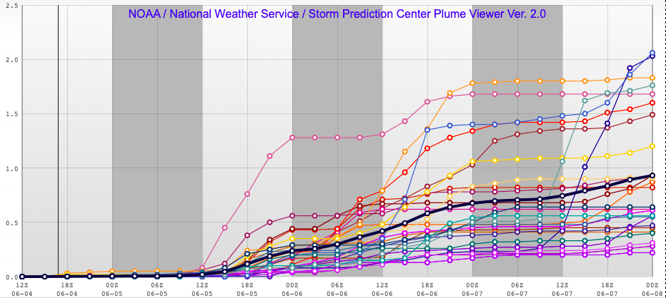
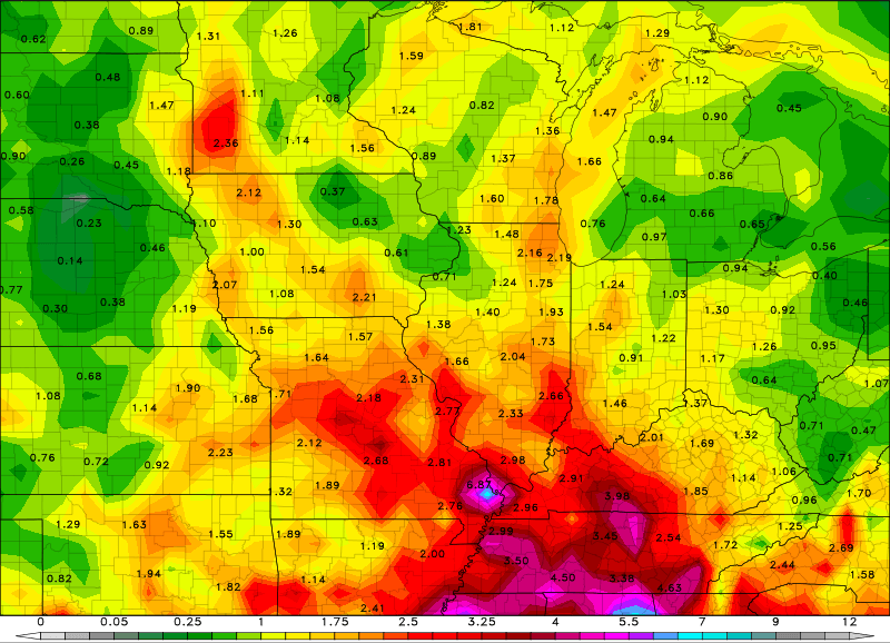
Taking a look at satellite below, we see it is mostly clear across the area...for now. This imagery can be compared to a webcam image located in the Johnson City area (thanks to WeatherBug). As I hinted above, the sun won't stick around for long due to clouds expected to move in from the west this afternoon. The new pattern we are set in will be wet over the next 5 to 6 days. Two low pressure systems will be rolling through over this time period, allowing for lots of rain in the area. 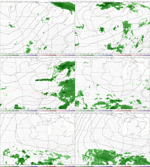 Taking a look at the latest NAM run, we see those scattered showers work their way through the area Wednesday afternoon. Some of these showers will be heavier at times with embedded lightning, heavy winds, and small hail. The severe threat is low, but can't be ruled out. As we work our way through the remainder of the work week (through Friday) we will see shower continue. The image above is known as a Plume. A plume can be thought of as different models running for a specific variable. In this case, numerous models are ran to find the total precipitation from Wednesday until Friday night. The black line indicates the mean (average) between all the runs. So, as you can see, the average rainfall up to Friday evening is around the 1 inch line for the Knoxville area. Farther to our south, the data is indicating an average of 1.5 inches by Friday night. The combined two systems could land 3+ inches of rain through Monday night. Much of the higher totals will be to our south in Chattanooga, but we are likely to see 2+ inches for the majority of east Tennessee. I will keep you updated on the track of these lows, the severe potential as we move into tomorrow, and updated rain totals/expectations over the next 5 to 6 days. Stay dry as we welcome some needed rain in the region.
1 Comment
Leave a Reply. |
Your trusted source for everything weather in East Tennessee.
Social Media
|

