|
Beautiful across the Smokies this afternoon with temperatures across the Volunteer State expected to remain seasonably cool for the day. The good news is warmer air is on the way, with highs Thursday topping out in the lower 70s. This is still a few degrees below our usual average, but it's a push in the right direction. We'll have another cool drop off Friday with rain/clouds, then right back to warmer air. We will even see above average temps by early next week. 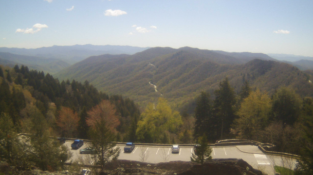 Speaking of those temperatures, here are the current values as of 1 pm. Most valley locations are hovering around the 60 mark, while the plateau is still in the mid to upper 50. We will warm a few more degrees, with highs topping in the low to mid 60s. 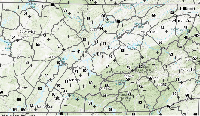 Longer out, a much needed warming trend is increasingly likely. The Climate Prediction Center (CPC) highlights a higher probability of above average temperatures into mid May. Not shown as well, near to slightly above average precipitation will be possible during this time. 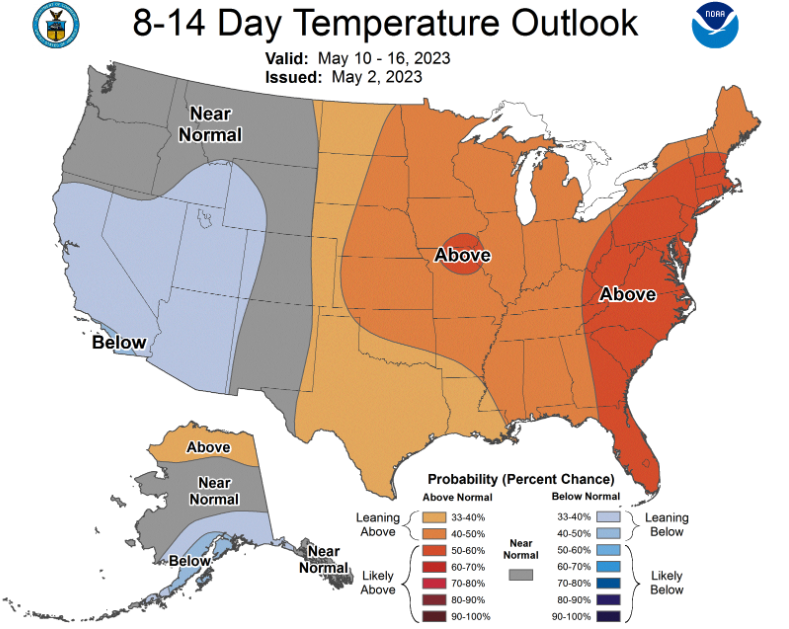 In terms of rainfall across East Tennessee over the next several days, we will have a few bouts. Up first, and with the best chances, Friday evening into Saturday. Showers and a few storms are likely, with lingering isolated to scattered chances into Sunday and maybe early next week. Amounts won't be soaking, but a general 0.5 to 1" is possible Friday through Sunday. I will finish with saying lows tonight are expected to dip down into the mid 30s to around 40 degrees. For those usual cooler spots, have a way to protect/cover any outdoor tender plants. Patchy frost will be possible into Thursday morning. Pre-recorded for 5pm weather broadcast
0 Comments
Good afternoon and happy (not so) warm start to May. Not only are temperatures chilly for this time of the year, but it's also breezy. Comparing things to this time yesterday, we are around 10 degrees cooler. That trend will hold true today, where highs only find the upper 50s to low 60s. Our usual average is the mid 70s.  Further comparing our usual average to what is expected today, Tuesday, and Wednesday, highs will be running between 10 and 20 degrees below normal. Some locations could even be near record minimum highs. The one good thing is, frost/freeze potential will be more limited even with the cooler air. 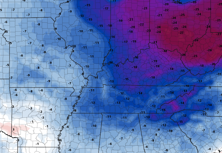 The reason for this comes from the large trough, or upper low, entangled across the Great Lakes. This will lock in intermittent cloud cover over the next couple of days, while keep things breezy again Tuesday, and cool through Wednesday. Once this breaks down and moves out, warmer air returns Thursday, highs in the low 70s, along with sunnier skies. It will be short lived though, as another disturbance inches back in late work week and into the early weekend. As of now, temperatures look to remain in fair shape during this time, averaging in the 70s Thursday through Sunday. Frost can't be ruled out Wednesday night, so be sure to have those tender plants covered into Thursday morning. 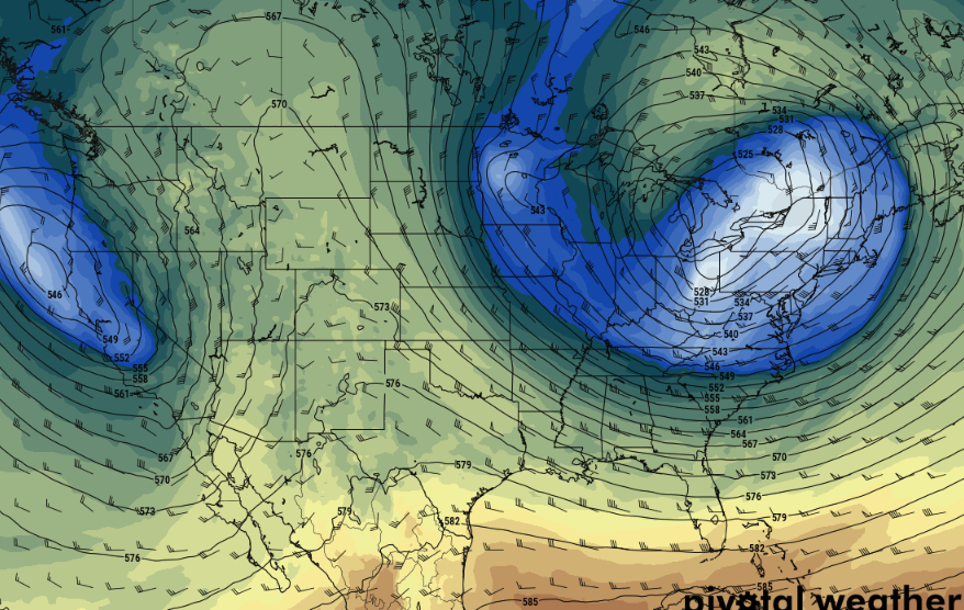 Breezy west winds will continue today and tomorrow, blowing between 10-20 mph with gusts between 30-40 mph not ruled out. Things slacken into Wednesday where a slight bump in temps will find the area. The real warmth doesn't return until Thursday, lasting through at least the weekend with a few showers possible Friday and Saturday. Check out our video forecast below for more information. Pre-recorded for 5pm weather broadcast
|